

Overview
AquaModel Features
AquaModel is an extremely powerful marine modeling tool with multiple levels of displays, internal and external analyses, flexible simulations, and advanced imported and export tools.
Select a topic from the menu below to learn more about the power and utility of AquaModel.
- Coast line data from many sources, including
♦ World Data Bank (WDB-II)
♦ World Vector Shoreline (WVS)
♦ ArcShape files
- Detailed bathymetry
- Satellite and ocean model imagery (NetCDF, HDF and GeoTIFF)
- Navigation charts
- Multimedia
- User-defined GIS shapes
- Profile plots (single or multi-trace, histograms, pie-charts, false color charts)
- Blob (bubble) plots
- Contours
- Current vectors
- Tidal ellipses
- Metadata
- Instant web deployment
- Google Earth
- Interactive web maps
- Ocean currents
- 2-D, 3-D, or merged
- Constant or dynamically changing ambient conditions data
- Modeled dissolved materials
- oxygen, nitrogen, phytoplankton, zooplankton
- Modeled fish farm waste materials
- feed & fecal
- Modeled benthic materials
- Suspended layer
- feed waste, fecal waste, oxygen, total carbon
- Sediment layer
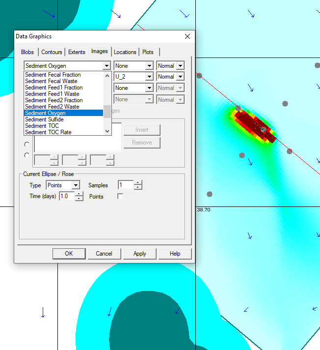
- feed waste, fecal waste, oxygen, hydrogen sulfide, carbon dioxide, aerobic & anaerobic biomass
- Suspended layer
- Multi-farm capability
- Multi-species capability
- Default characteristics of several commercially important species included
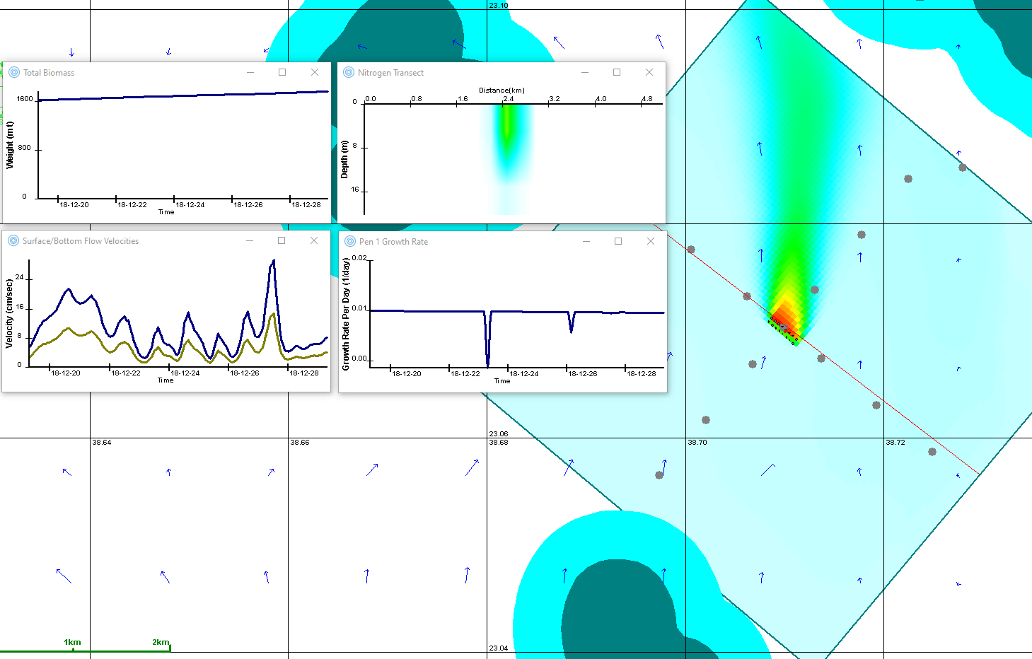
- Animated plan and profile displays
- Dissolved, suspended, and sediment materials
- Surface and bottom flow velocities
- Fecal and feed waste streams
- Fish pen and waste stream properties
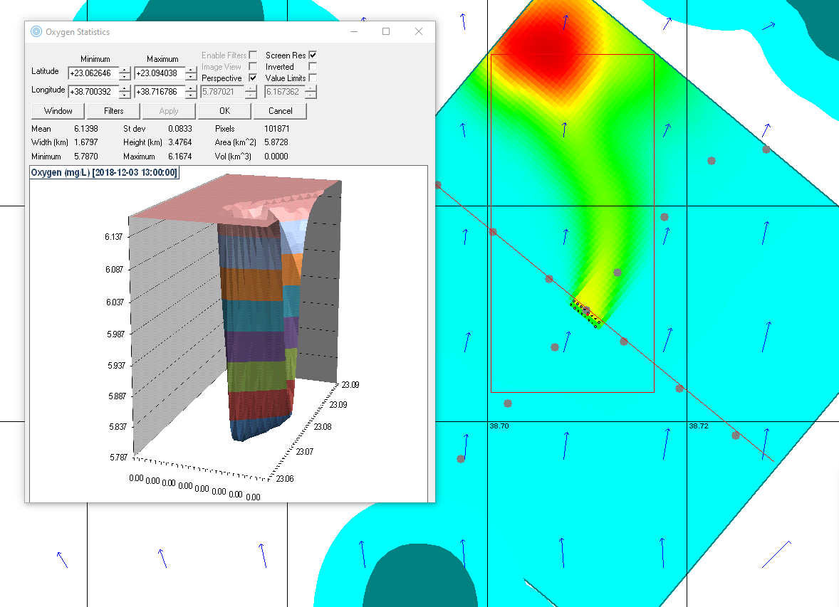
- Statistical analysis of imagery
- 3-D perspective charts
- Query measurement, bathymetry, and imagery
- Computed water volume within a user-specified region (e.g. bays)
- Built-in Analysis of Variance (ANOVA)
- Levenberg-Marquardt multi-dimensional surface search routine
- Kernel method 3-D density function calculation
- USGS 3-D earth magnetic model (intensity, declination, and magnitude)
- 3-D current drift model
- Fast Fourier transforms
- A variety of standard statistical functions
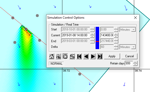
- User-defined simulation times (start, end, direction, and step)
- Simulation capture and replay capability
- Animate satellite images and ArcShape files
- Animate blob plots, false color images, and profile plots of measurement data
- Play/step forward or backward or skip to specified simulation times (where compatible with simulation model)
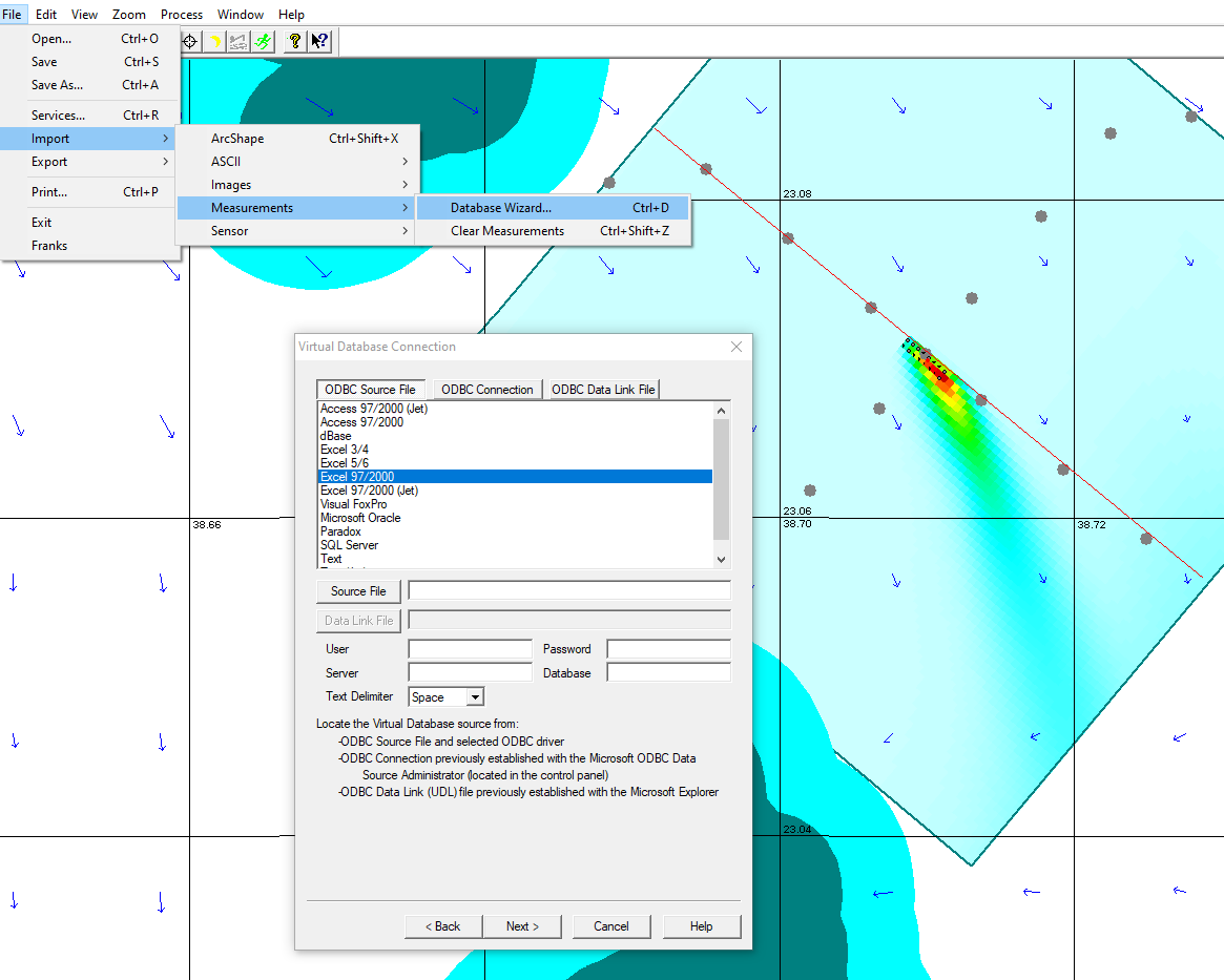
- Database wizard imports ASCII, Excel, or database measurement data
- ASCII wizard imports ASCII geographic measurement data to false color raster images
- Batch importing of satellite and modeled imagery and aerial photographs
- Export modeled properties to Excel/CSV for offline analysis
- Convert animated project data (graphic plan view and profile plots) to Google Earth or an interactive web map
- Export animated displays to NetCDF image format files
- Export graphic displays to BMP, GIF, JPEG, PNG, or TIFF files
- Subset and convert imagery files to Excel/CSV or to NetCDF images
- Convert ArcShape data to Excel/CSV
- Integrated with "R" for interactive or off-line analysis of image or profile plot data
- Export user-selected or station-based timeseries of ingested raster or modeled imagery
